FUA
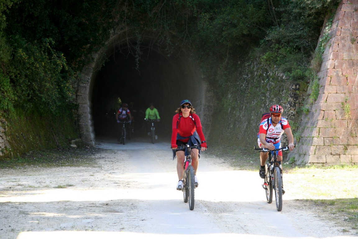
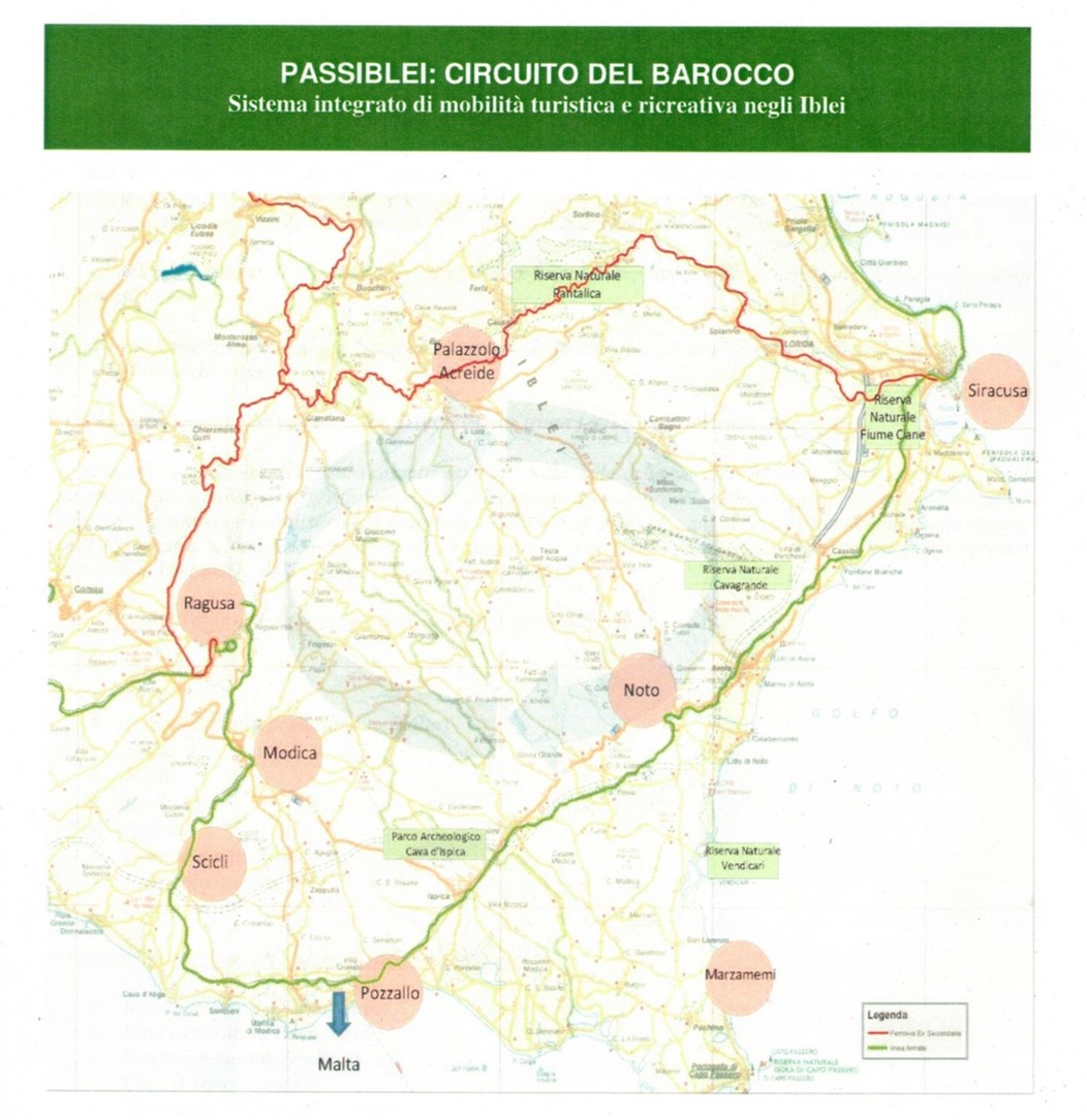
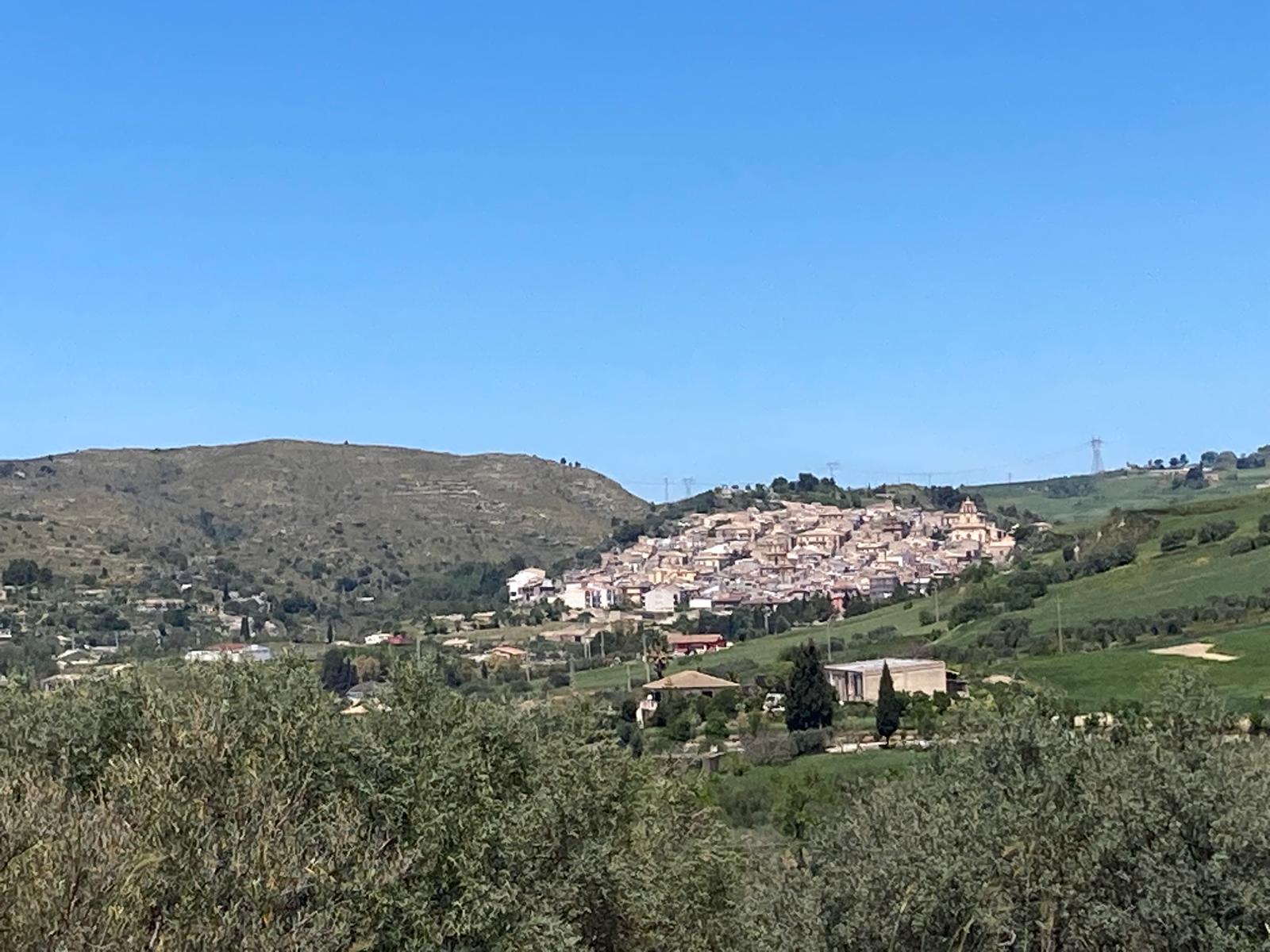
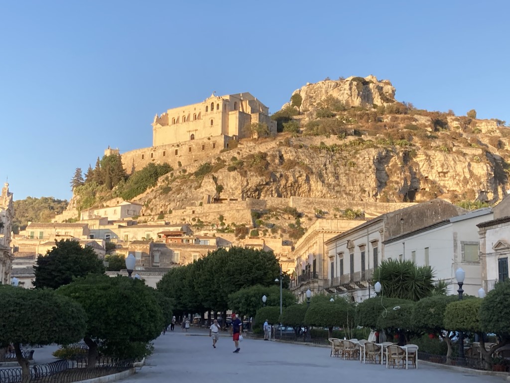
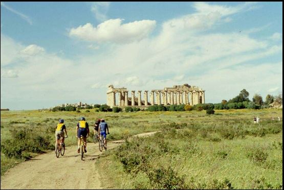
La Ciclovia FUA è unica nel suo genere. Attraversa il territorio del Sud est della Sicilia, unendo i territori di città UNESCO adornate dall’architettura Tardo Barocca della ricostruzione dopo il terremoto del 1693, come Scicli, Modica e Ragusa, e piccole città ugualmente preziose come Giarratana, frazioni come Frigintini, il Castello di Donnafugata, Vittoria e il suo Liberty, Santa Croce Camerina e le sue frazioni marinare. Dalla Costa alla collina Iblea, in una variazione di paesaggi e sapori, la Ciclovia FUA è basata su ciclabili costiere e strade secondarie che raggiungono la collina iblea, con Giarratana punto di contatto con la Ciclovia GREENET che giunge da Siracusa e si proietta verso Ragusa, ma anche verso la montagna iblea e più avanti, la Piana di Catania. “FUA” è un nome provvisorio, legato all’acronimo Aree Urbane Funzionali, quando sarà teminata l’apposizione dei segnali, probabilmente daremo un altro nome. Ma intanto, la godiamo così!
The FUA Cycle Route is one of a kind. It crosses the south-east of Sicily, linking UNESCO towns adorned with late Baroque architecture from the reconstruction following the 1693 earthquake, such as Scicli, Modica and Ragusa, and equally charming small towns such as Giarratana, hamlets such as Frigintini, the Castello di Donnafugata, Vittoria and its Art Nouveau architecture, and Santa Croce Camerina and its coastal hamlets. From the coast to the Iblean hills, amidst a variety of landscapes and flavours, the FUA Cycle Route follows coastal cycle paths and secondary roads leading up to the Iblean hills, with Giarratana serving as the junction with the GREENET Cycle Route, which runs from Syracuse towards Ragusa, but also towards the Iblean mountains and, further on, the Plain of Catania. “FUA” is a provisional name, derived from the acronym for Functional Urban Areas; once the signage has been completed, we will likely give it another name. But in the meantime, let’s enjoy it as it is!